CIIC 246b. Ardcanaght II, Co. Kerry
Download Epidoc | 3D PDF | 3D OBJ | 🔗 URI https://ogham.celt.dias.ie/246b._Ardcanaght_II

Site Type
Children'a burial ground
Description
Site
According to the landowner, the Ardcanaght ogham stones (CIIC 246a and 246b) came from a nearby children's burial ground (KE047-037----, 'Killeen Old Burial Ground' on historical OS maps).
Monument
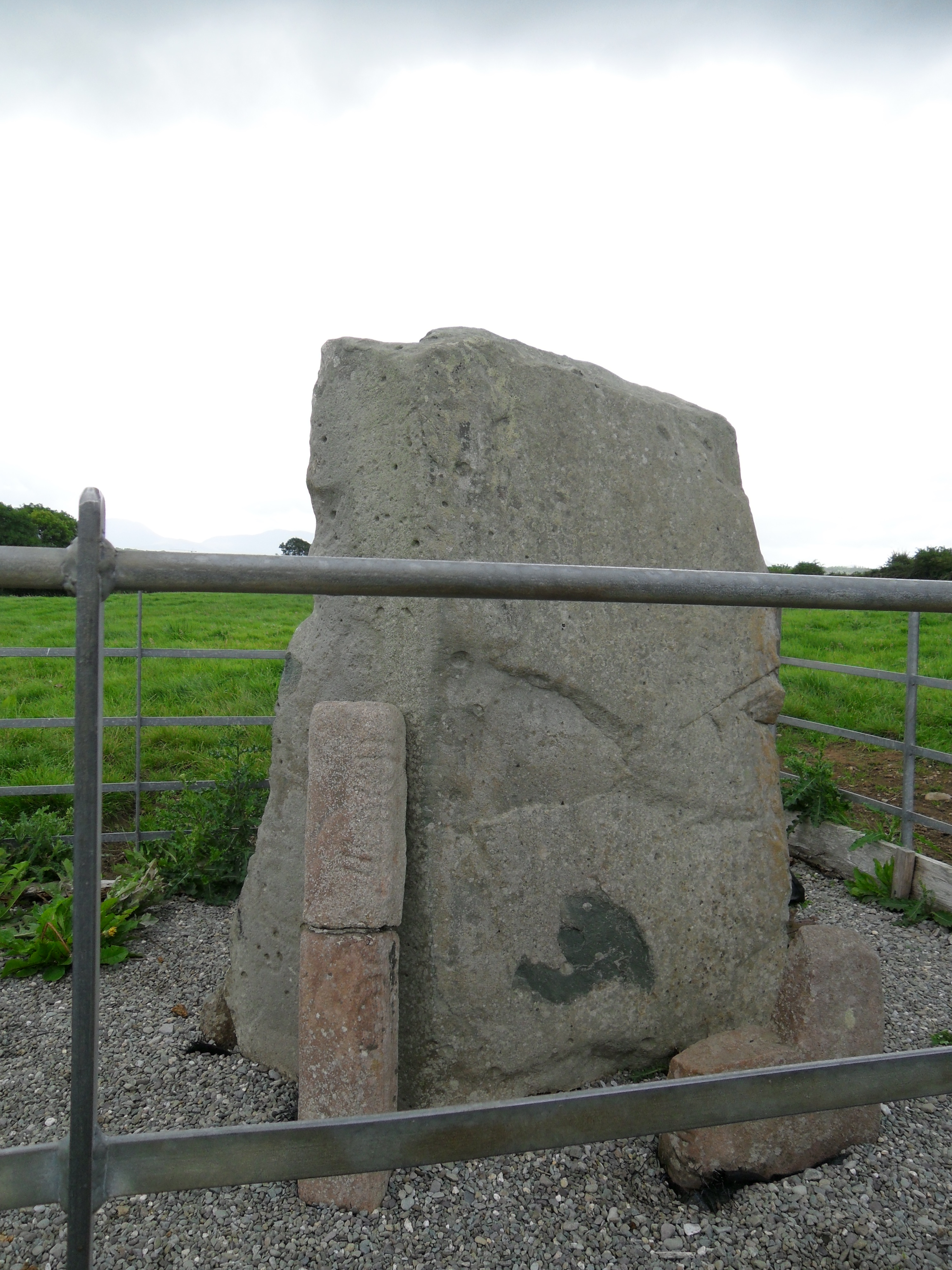
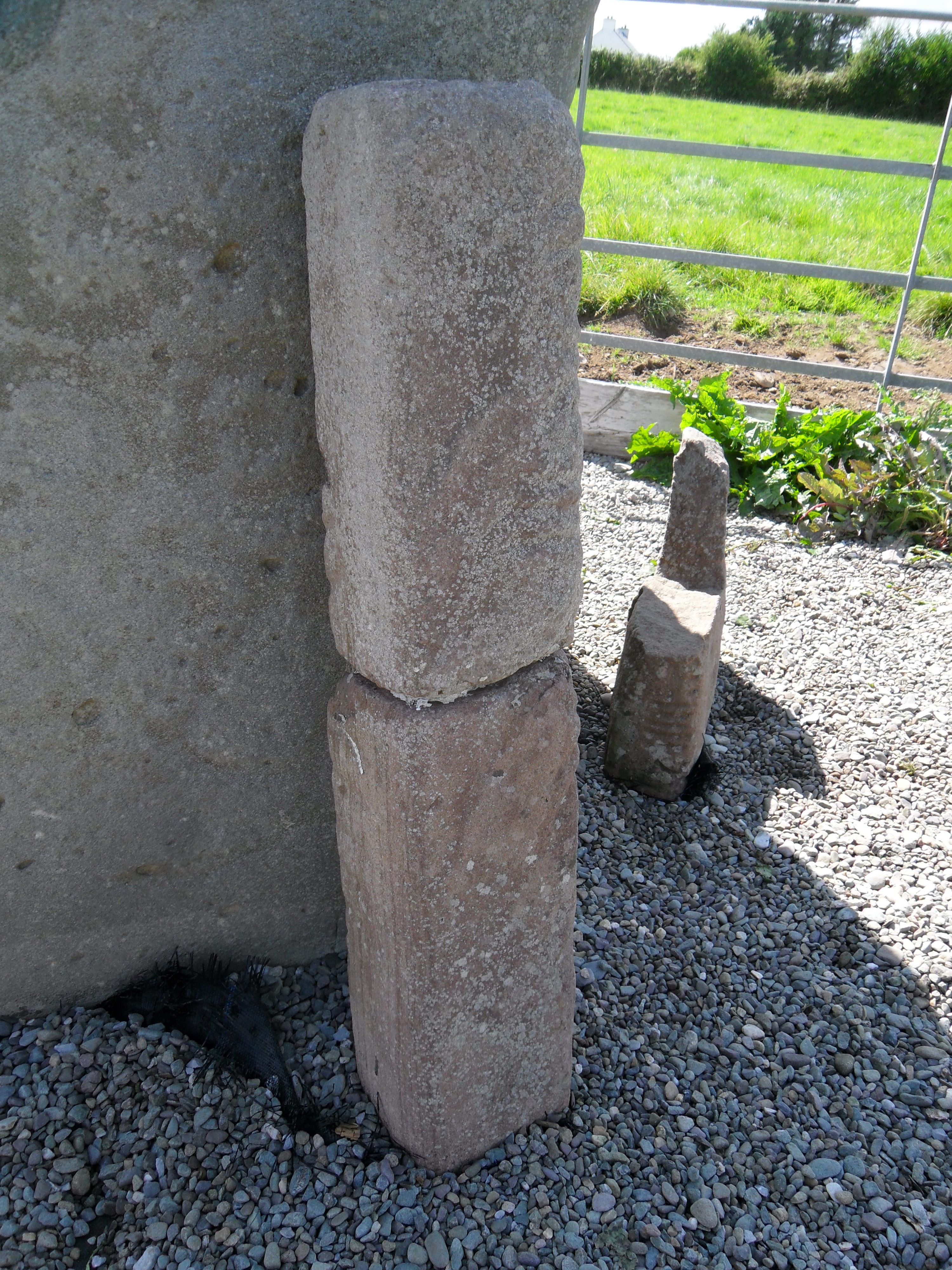
0.86m (above ground) x 0.15m x 0.14m (dimensions from 3d data). Recorded by Macalister (1945, 241) as 'a pillar stone about 4' high, square in horizontal section: broken in two'.
Text
On examining this inscription in person, and subsequently the 3d model, Macalister's (1945, 241) diagram does not appear to be very accurate (see below and compare with 3d model). It may be that he was too anxious to find comparisons with the Glenfahan inscription (CIIC 183). It also seems that he did not examine the stone in person and his interpretation is based on 'rubbings and photographs'. Many of the scores are curved, rather than the usual straight scores and I cannot make any sense of the text. It is also difficult to be sure of the correct re-alignment of the two framents.
Transliteration
Locations
Found
Discovered in an old graveyard on this townland of Ardcanaght in the barony of Trughanacmy (Macalister 1945, 241). (GPS coordinates -9.725042, 52.165998)
Original
Find location possibly original site
Last Recorded
In a modern enclosure with CIIC 246b and a boulder with rock art. The present location of this stone may be accessed via the National Monuments Service public map viewer on www.archaeology.ie. (GPS coordinates -9.725848, 52.169079)
History of Recording
Discovered by members of the Tralee Field Club in the mid 1940s (Macalister 1945, 241).
References
Websites and Online Databases
- Gippert, J. (1997): Thesaurus Indogermanischer Text-und Sprachmateriale. Ogam-Inschriften: Bilderverzeichnis (picture catalogue). (2nd edition) University of Frankfurt, online database: titus.uni-frankfurt.de/ogam/ogbildx.htm
- CISP (Celtic Inscribed Stones Project): www.ucl.ac.uk/archaeology/cisp/database/
- MacShamhráin, A.: Monasticon Hibernicum database - Early Christian Ecclesiastical Settlement in Ireland 5th to 12th Centuries: monasticon.celt.dias.ie
This work is licensed under the Creative Commons licence Attribution-NonCommercial-ShareAlike 3.0 Ireland
Copyright (c) 2013 by the School of Celtic Studies http://www.celt.dias.ie
All reuse or distribution of this work must contain somewhere a reference to http://ogham.celt.dias.ie/


