CIIC 211. Kilcoolaght East VI, Co. Kerry
Download Epidoc | 3D PDF | 3D OBJ | 🔗 URI https://ogham.celt.dias.ie/211._Kilcoolaght_East_VI

Site Type
Burial ground
Description
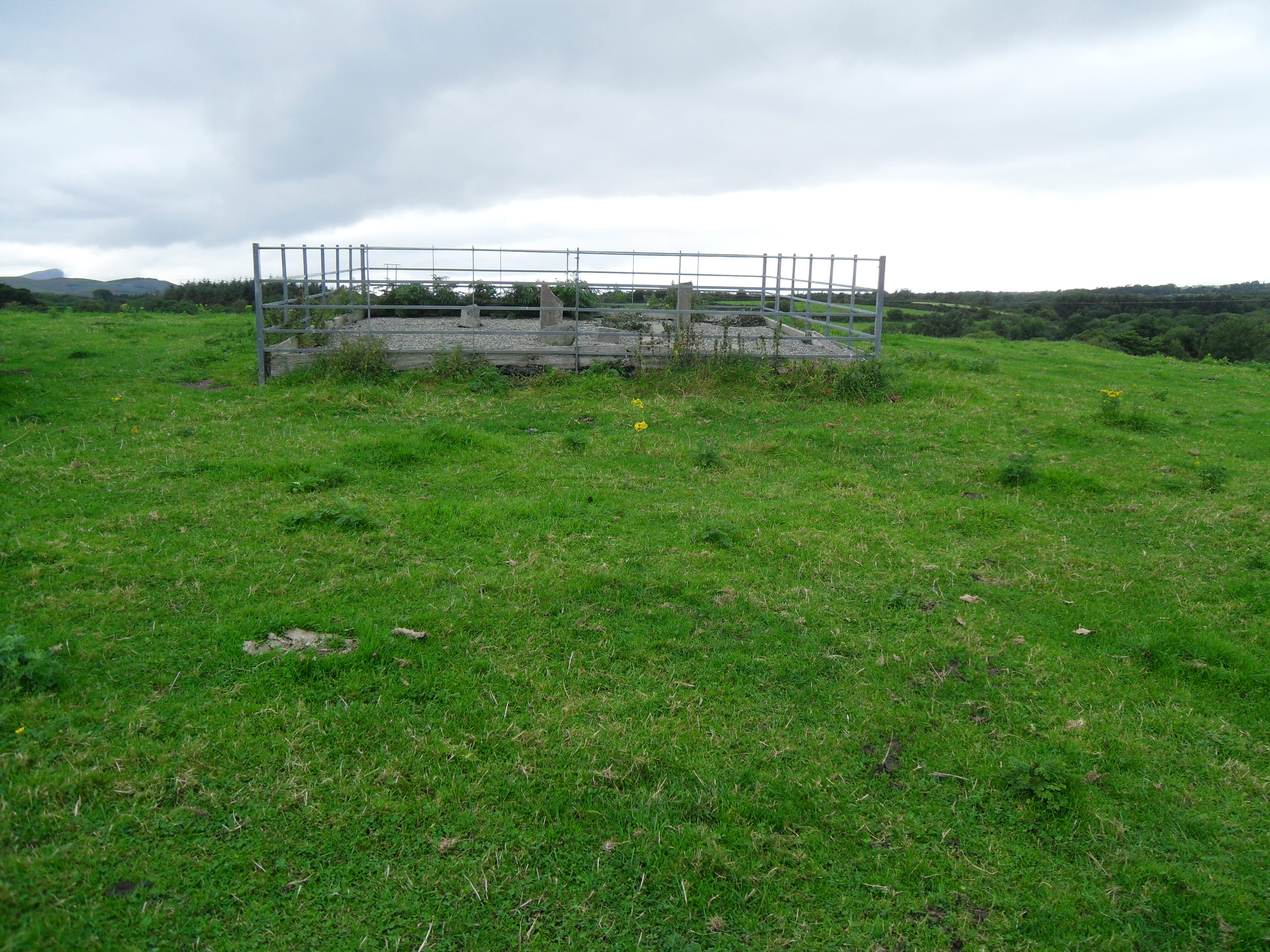
Site
'Kilcoolaght Burial Ground/Cill Chuallachta (KE065-003001-): This site is located N of Macgillycuddy's Reeks on slightly elevated ground, a short distance W of the Finglas river. Described as a 'fort' and a 'burial ground' in the OSNB (Killorglin, 38), it is depicted on the first edition of the OS map as a small circular enclosure. It was described by Brash (1879, 228) as 'slightly raised above the level of the field, and about fifteen feet in diameter; it had evidently been much larger, but has been encroached on . . . [It] is an irregular circle without any fence, and stuck full of Dallans, from 12 in. to 4 ft. in height, several of which are inscribed’. Brash also recorded a tradition that a church (KE065-003003-) formerly stood on a rectangular area of untilled ground ‘a few yards from the cilleen'. No trace of this church is now apparent' (O'Sullivan et al 1996, no. 950).
Monument
0.67m x 0.22m x 0.13m (O'Sullivan et al 1996, no. 950). Macalister (1945, 205) gives the height as 3 feet 7 and a half inches (1.1m).
Text
'The inscription pocked and rubbed on two angles (up-top-down)... The I of MAQI is broken away, but otherwise the inscription is perfectly clear' (Macalister 1945, 205). O'Sullivan et al (1996, no. 950) recorded that 'the upper surface of the stone is spalled and the I of the second word and the initial two characters of the third word are no longer clear'. O'Kelly (1954, 108) corrected Macalister's RITTUVVECC to RITAVVECC. Although there is just about space enough for three notches, only one can be made out with any certainty. The initial RI was below ground level in August 2015.
Transliteration
Translation
Commentary
-
The name RITTAVVECC also probably occurs in an inscription from Church Island, Co. Kerry (post syncope, early OIr form: RITTECC) and on CIIC 250. (with an earlier, pre-apocope form: RITTAVVECAS) from Corkaboy, Co. Kerry. A later form of this name survives in the name of the neighbouring Barony, Iveragh (Íbh Ráthach) (McManus 1991, 70).
Locations
Found
along with a number of other ogham stones and fragments in a small area of a field (recorded as a burial ground) in the townland of Kilcoolaght East and barony of Dunkerron North. (GPS coordinates -9.745808, 52.073955)
Original
Find location possibly original site
Last Recorded
In a modern enclosure in a large field on private land. The present location of this stone may be accessed via the National Monuments Service Historic Environment viewer on www.archaeology.ie.
History of Recording
According to Brash (1879, 228), the site was visited on several occasions by Windele and by Brash himself in 1869.
References
- Brash R. R. (1879): The Ogam Inscribed Monuments of the Gaedhil in the British Isles, p. 231.
- O'Sullivan, A. and Sheehan, J.(1996): The Iveragh Peninsula: An Archaeological Survey of South Kerry. Cork, no. 950.
- Macalister, R.A.S. (1945): Corpus inscriptionum insularum Celticarum, pp 205.
- McManus, D. (1991): A guide to ogam. Maynooth Monographs 4, pp 67, 70, 95.
- O'Kelly, M.J. , and Kavanagh, S. (1954): 'An Ogam inscribed cross-slab from County Kerry', Journal of the Cork Historical and Archaeological Society 59, pp 101-110.
Websites and Online Databases
- Gippert, J. (2001): Thesaurus Indogermanischer Text-und Sprachmateriale. TITUS OGAMICA. (3rd edition) University of Frankfurt: titus.fkidg1.uni-frankfurt.de/ogam/frame
- CISP (Celtic Inscribed Stones Project): www.ucl.ac.uk/archaeology/cisp/database/
- MacShamhráin, A.: Monasticon Hibernicum database - Early Christian Ecclesiastical Settlement in Ireland 5th to 12th Centuries: monasticon.celt.dias.ie
This work is licensed under the Creative Commons licence Attribution-NonCommercial-ShareAlike 3.0 Ireland
Copyright (c) 2013 by the School of Celtic Studies http://www.celt.dias.ie
All reuse or distribution of this work must contain somewhere a reference to http://ogham.celt.dias.ie/


